
Topographical Surveys
About Topological Surveys
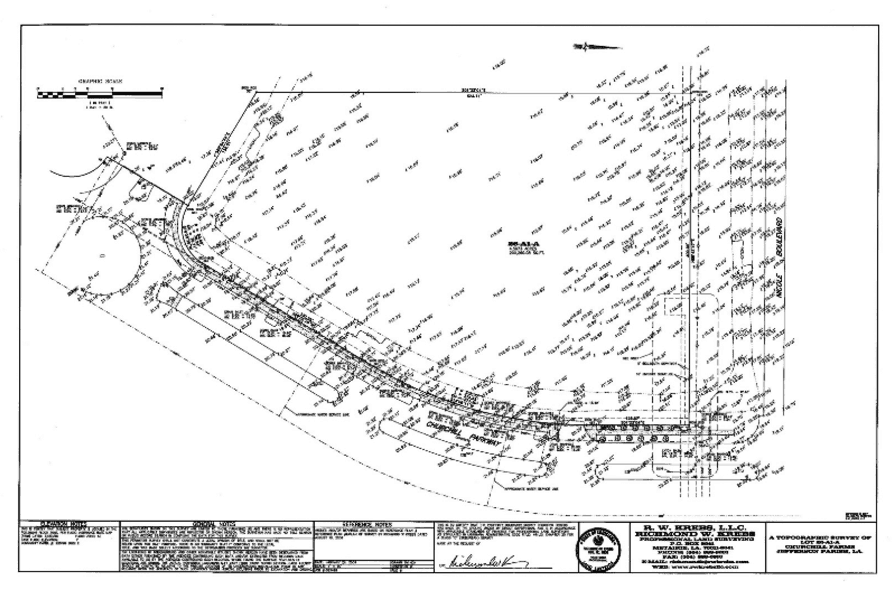
A Topographic Survey is a survey that gathers data about the elevation of points on a piece of land and presents them as contour lines on a plot. The purpose of a topographic survey is to collect survey data about the natural and man-made features of the land, as well as its elevations.

Other Services
Monitoring of Movement
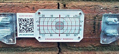
Monitoring surveys are a precise method of surveying in which structures or features which are thought to be moving or have the possibility of moving are repeatedly checked to determine the amount of movement or deflection. The amount of movement, if any, can be quantified and reported.
GPS and Control Surveys
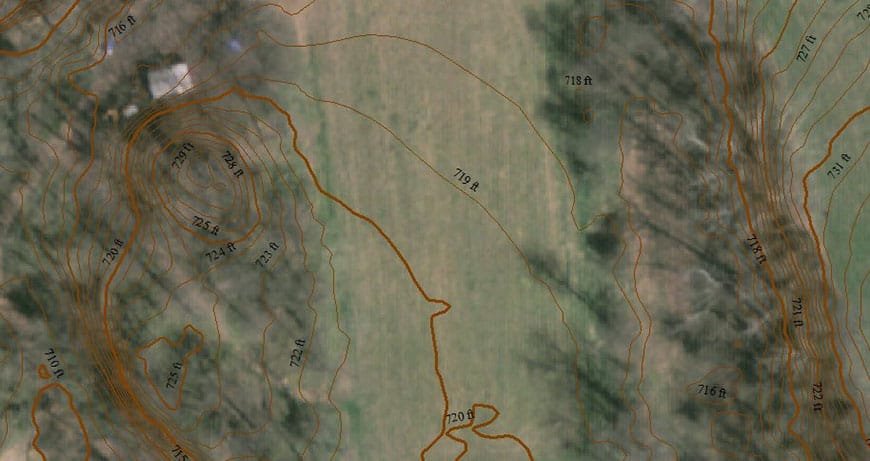
A GPS (Global Positioning System) control survey utilizes high precision survey grade Global Positioning Receivers to establish horizontal and vertical values for remote locations.
Measured Survey of Existing Buildings
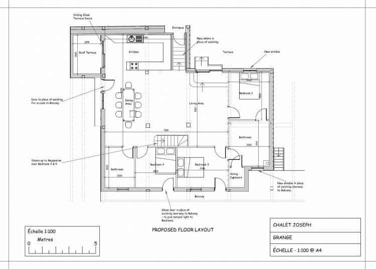
A measured building survey is an accurate representation of your building showing all the structural elements and architectural features. Floor plans are essential to give an accurate representation of the building and this is backed up with elevations and cross sections presented as a scaled survey drawings.